A+
A-
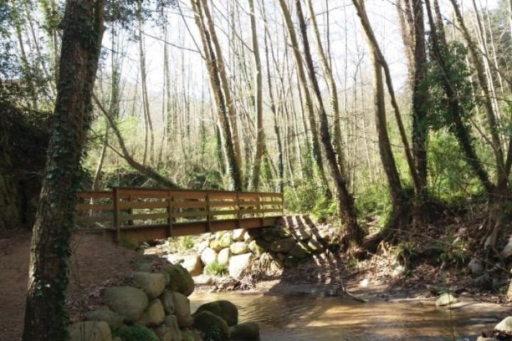
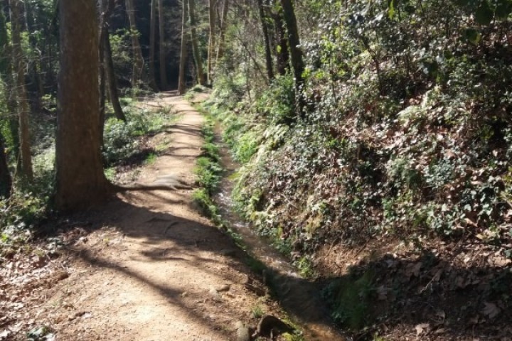
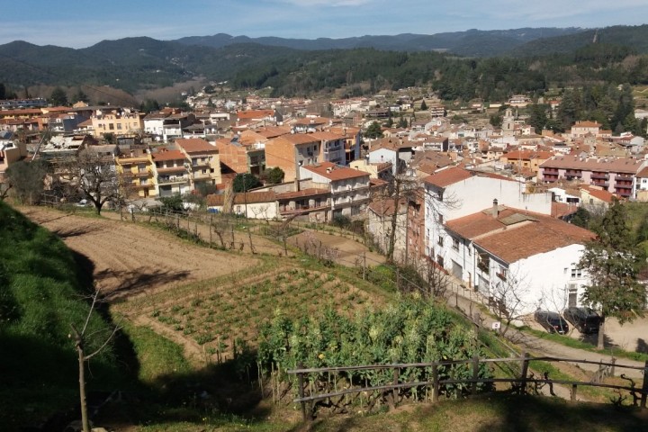
Very nice itinerary taht follows, at the begining and at the end, the Passeig de la Riera Arbúcies, crossing it at a different points.The path leaves the river to climb gently Mas El Congost and continues along a track until you find the Rec de la Plana.
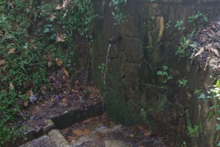
From here we follow a narow path parallel to the canal, which crosses several orchards,which give a rural aspect to the area, and thats allows us to enjoy different panoramic views of the village of Arbúcies and its naturak enviromement. Before you get to the higher houses of the village we find the source de Ferro and later the painting marks the Northen way(GR83), we will have to follow to get to the point of departure.
The route is circular, suitable for all the familiy, and allows you to discover the source of CaN pairana and source de Ferro. The route is part of the network of routes of Boscos de bruixes and bandolers, qand is marked with green banners on woodem sticks,
Technical file
Walking route
Starting point and the end- Can Pons Pavilion ( Arbúcies)
Elevation-184m
Away-7.3 km( circular route)
Duration-1.45 h
Difficulty level-Easy
Type of path- Path and track
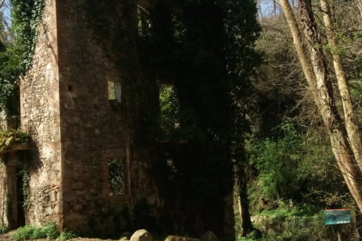
Point of interest- Ethnological Museum of Montseny, Church of Sant Quirze and Santa Julita, Arbúcies water course, canal de la plana, a source de Ferro and source Can Pairana.