A+
A-
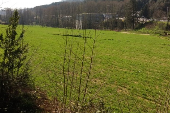
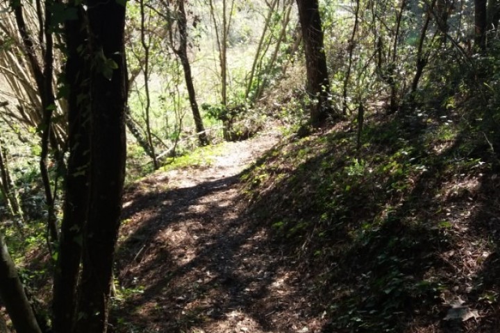
Circular route thta runs basscally to track , through lushforest and moist, the first strech of the trail leads to the Salt de la Dona d'Aigua.
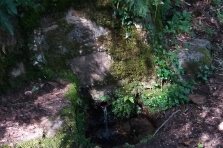
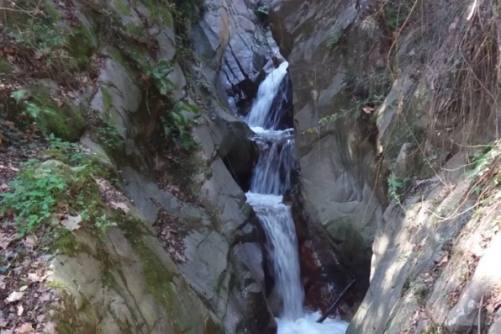
To get there, we have to follow a small patch to the river, where we discover ths magical place of great natural beauty.It is a this point whrere arose the popular legend of Dona d'Aigua, collected by Víctor Balaguer in his book Al pie de la Encina. To return, we will undo part of the wa up to Pujató, where Can we turn to Can Riera and the source Dels Traginers, to find the GR83 that will take us to the village of Arbúcies.
The route is circular, suitable for the whole family, and lets you know the iconic Salt de la Dona d'Aigua and the source of Traginers. The route is part of the network of routew of Boscos de bruixes i bandolers, and is marked with green banners on wooden sticks.
There is a shorters variation of the same route.
Technical file
Walking route
Starting point and the end- Can Pons Pavilion( Arbúcies)
Uneveness-228m
Distance-12.9 km ( circular route)
Duration- 3 h
Difficulty level- Easy
Kind of way- Basically track
Point of interest- Ethnological Museum of Montseny, Church of Sant Quirze and Santa Julita, stream of Arbúcies, Salt Dona d´Aigua, stream of Riudecòs, stream Xica, source of Traginers.