A+
A-
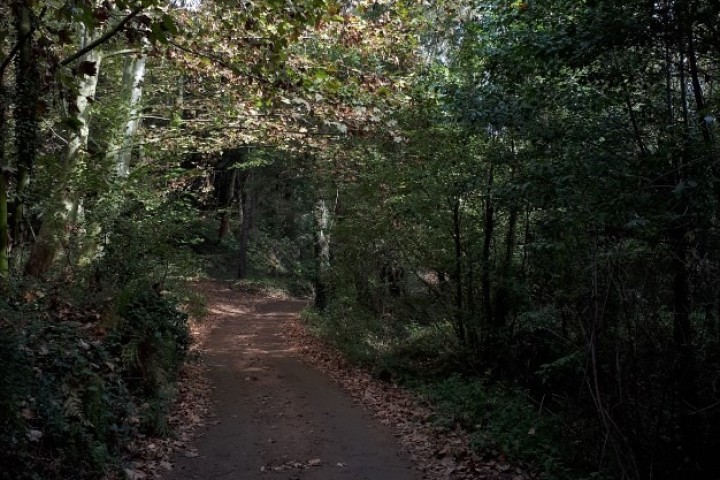
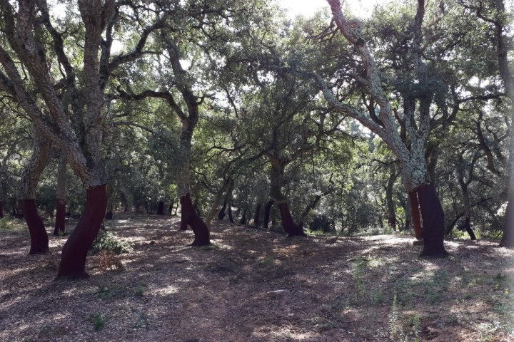
Circular route that runs bassically to track, crossing River side forests, chestnuts and cork oak.
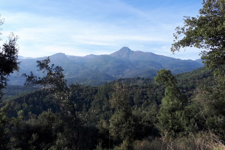
The situation of Santa Pere Desplà, just at the point of contact of the Montseny massif and the Guilleries, makes this route a nice tour of the geography of the Valley of Arbúcies, in between the mountain crests of the inland and cross-disciplinary.The route will allow us to get to know the neighborhood of Poca Farina and the romanesque church of San Pere Desplà, which houses some interesting paintings preromaniques.
The route starts in the Pavilion of Can Pons in the direction of the stream of Arbúcies an the Parc de la Glorieta. Leave the asphalt section in the development of La Joia del Montseny, to enter track towads neighborhood of Poca Farina following in parallel with Sot del Palau. This neighborhood was one of the last areas of the town that lived here. The name of Poca Farina makes reference to it was a little area atractive for the agriculture due to its terrain and the scarcity of water.
Once past the ruins of Can Fonoll( currently with a restored olive groves) and the house of Can Castell, we will leave the route marked with green signs( oF Tourism of the Generalitat de Catalunya) to take a short cut. Up to this point the walking route coincides with the route marked for the mountain biking. You need to be attentive to his cross roads, since we follow the signs we will make a turn iton our route, even though we sould arrive at the same end point.
The church of Sant Pere Desplà is located in a plane the family home in can Ferrer. The first evidence that we find its existence date back to the year 923. The church has a romanesque style apse in perfect condition and paintings dating from the 9th century.
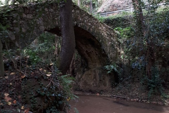
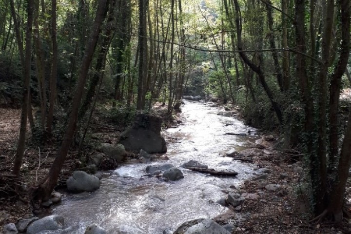
The way down will allow us to complete a circular route with an interesting end because we will cross a section of the stream of Arbúcies, El Molí de les Pipes (now a restaurant) and the Corbadora.
Technical file
Walking route
Starting point and the end- Can Pons Pavillion
Unevenness-438m
Distance-13,8 km ( circular route)
Duration- 4 hours
Degree of difficulty -Medium
Kind of way- Bassically track
Point of interest- Stream of Arbúcies, neighboorhood of Poca Farina, Sant Pere Desplà.