A+
A-
This excursion suggests walking along the old royal road from Arbúcies to Viladrau, on the northern slope of Montseny, between the counties of La Selva and Osona. The excursion passes through a little-known and frequented area of the massif.
It is an excursion with a steep slope, but with a beautiful visual gift.
Circular route that runs along a forest track, with a link of 5 km by local road (Santa Fe-Viladrau), crossing riparian forests, holm oak groves and cork oaks, chestnut groves and beech forests.
The climb to Sant Marçal allows us to know the Montseny massif from its lowest to highest levels. The route is a journey between the different stages of vegetation in Montseny.
The route starts in the Can Pons pavilion in the direction of the Marcús and the Vidal campsite. A constant climb will take us to Coll Sesferreres, the highest point of the route (1,163 m) passing by Graners. To find the descent track we will have to do about 5 km by road with little traffic, to the Coll de Bordoriol. The forest track will take us to El Regàs passing by the church of Santa Maria de Lliors, which dates from the Romanesque period, although the construction that can be seen today is from the 17th century. The church forms a special complex with the Casa del Crous, one of the most important manors in the neighborhood of Lliors
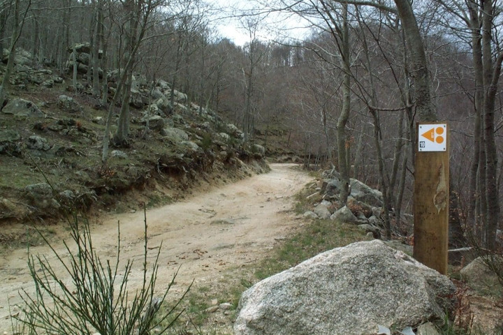
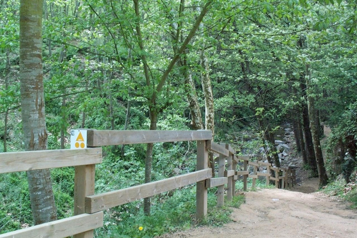
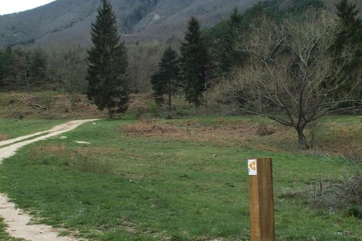
The route is marked with yellow indicators and corresponds to route 10 of the Consell Comarcal de la Selva.
Technical file:
Mountain bike route
Start and end point - Can Pons Pavilion (Arbúcies)
Elevation gain - 1.009m
Distance - 33,15 km
Duration - 3.30 h
Degree of difficulty - High (due to the accumulated continuous difference in level)
Type of road - Forest track and local road
Point of interest - Riera d’Arbúcies, Sant Marçal, Veïnat de Lliors, Santa Maria de Lliors, el Regàs


