A+
A-
The GR-83 retrieves the layout that followed thousand ofexiles from January and February 1939, fleeing to France by the hill of malrem.It also includes ways of step using miners,transporters, millers...for your daily activities. Starts on the beach of the Callao de Mataró and perches along the Meridian to the north, crossing the region of Maresme, Vallès Oriental, la Selva,la Garrotxa, Ripollès, the Vallespir and Conflent. Know as the path of the North or of the canigou, has a length of 202 km.
The section below are links the towns of Arbúcies and Sant Hilari Sacalm, scouring a stretch of the creek de la Pineda and through the core of Joanet,
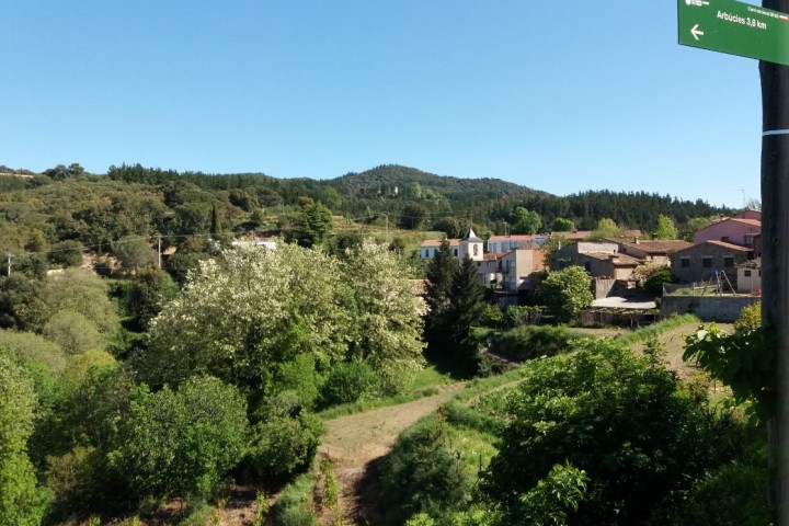
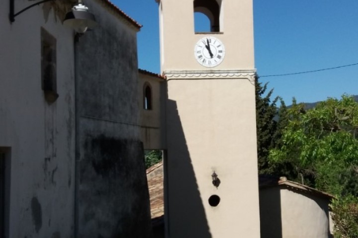
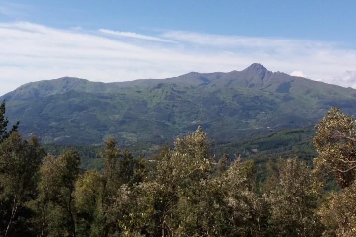
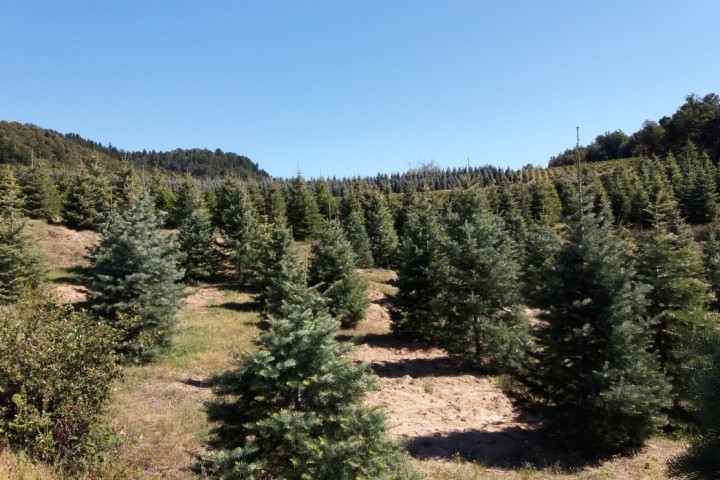
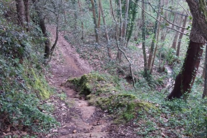
Departure from Arbúcies following the river Xica, to cross the industrial Torres-Pujals and climb to the Coll de Ventaiol. where we will enjoy good views of the village of Arbúcies under thr shade of a centuries-old Quercous suber. The path descends towards the stream of Riudecòs, to climb back to the core of Joanet.From here we will be alternatings stretches of forest and crops until you reach the outskirts of Sant Hilari. At some points we will have very good views of the massif of the Montseny and les Agudes. We do the same way to retiurn in Arbúcies.
The route is signposted to runs all the time following the GR83
Technical file
Walking route
Start point and the end-Can Pons Pavillion Arbúcies
Unevenness-572 m
Away-9.9 km (one way)
Duration-4.15h (roundtrip)
Degree of difficulty- Medium
Type of path- Path and track ( with stretch of road)
Point of interest- Stream of la Pineda,Joanet´s nucleus, can Roca, Sant Hilari Sacalm